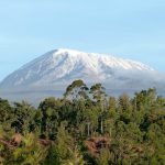
Mount Muhabura
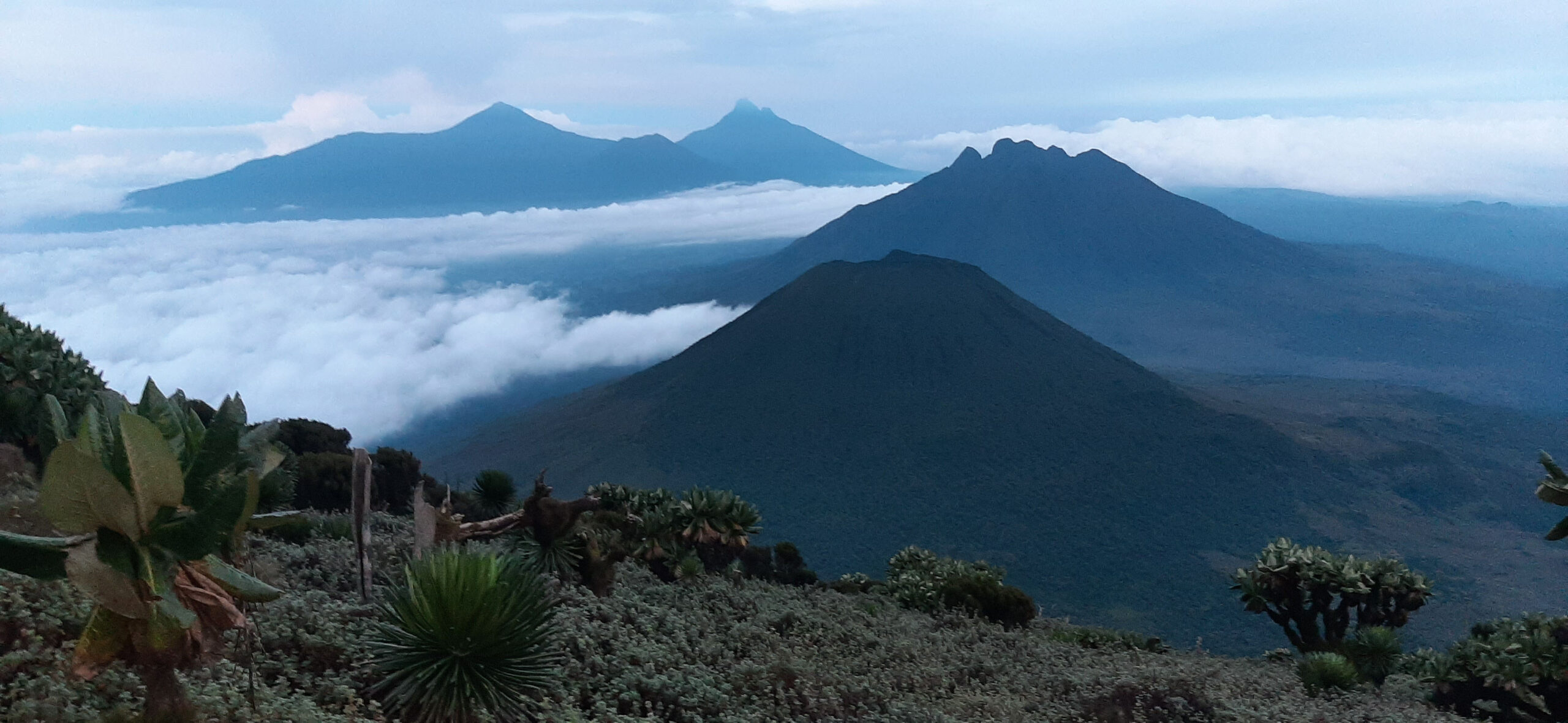
Standing at a height of 4,127 meters above sea level, Mount. Muhabura also known as “Muhavura” is an inactive volcano and its last eruption is dated back to sometime in the Holocene. Part of the Virunga Mountain ranges, it is located at the Uganda Rwanda Border with part of the mountain in Volcanoes National Park in Rwanda and the other part in Uganda lying within Mgahinga Gorilla National Park. It has the 3rd highest peak among the eight mountains that make up the Virunga ranges, with Mount. Karisimbi and Mt. Mikeno holding first and second position respectively.
The name Muhabura means “The guide” in the native language of the locals (Kinyarwanda), this is due to the fact that it was used as a guide by distant travelers. It is cone shaped and known for being the steepest within the volcanoes area. The volcanic ash found at the slopes has supported the growth of thickets and shrubs, River Kabiranyuma is a key feature found here as it separates mount Muhabura from Mount Gahinga since they are connected.
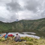
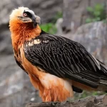
There are lots of rare bird species accompanying the existence of mammals like buffaloes, elephants, Mountain gorillas and these are mostly found on the Ugandan side. The peak contains a small crater lake. Interestingly, this mountain can be sighted from most parts of Uganda and Rwanda due to its slope.
Hiking Mount Muhabura
Mount Muhabura is recognized as the steepest mountain within the Virunga Mountain ranges. Consequently, it is considered the most difficult peak to hike in the region. Only one day is provided for this challenging hike to be carried out. Notably, hiking can be arranged on both the Ugandan and Rwandan sides.
From Uganda, guides from the Uganda Wildlife Authority are met at the park. These experts lead you directly to the Ntebeko Visitors Center. Alternatively, in Rwanda, hikers are required to report to the Kinigi Visitors Center. Furthermore, payments for the necessary permits are made at these specific locations.
The Trekking Process and Regulations
At both centers, a group of rangers is given to guide the team. Specifically, these professionals ensure safety throughout the entire hike. Since the hike is strictly limited to one day, sunset marks a firm deadline. If the summit has not been reached by then, hikers are advised to descend.
A briefing is always conducted before the hike begins. Indeed, information regarding the mountain’s history is shared during this moment. Hikers are also checked to see if they are fully equipped. Notably, the right boots, clothing, and drinking water are required for success.
Climbing Timeline and Altitude Stops
Climbing usually commences at 7:00 AM each morning. The journey is estimated to take approximately 7 hours maximum. Furthermore, transportation to the starting point is provided for those without private cars. During the hike, stopovers are used to rest and have lunch.
Two distinct stopovers are featured during the ascent:
-
First Stop: Located at an altitude of 3,117 meters.
-
Second Stop: Located at an altitude of 3,860 meters.
Specifically, those without sufficient stamina may end their journey at the first stop. However, those with endurance can continue to reach the summit. Notably, it is observed that the air gets significantly colder as one goes up. This tiresome hike is rewarded by a breathtaking view at the top.
A crater lake is found at the summit, which is safe for swimming. However, this activity is usually discouraged because the water is very cold. Indeed, the experience is described as entering another world.
Stamina, Preparation, and Porter Services
Due to the steepness, a thrilling experience is highly demanded by visitors. Specifically, seasonal hikers are most interested in taking part in this hike. Conversely, non-seasonal hikers may need a lot of preparation before embarking. Porters are also available to help carry the visitors’ luggage. Notably, these services are considered very affordable for travelers.
Permit Costs and Booking Information
The costs are set at approximately $75 USD per person. Consequently, this fee excludes transport, accommodation, and porter hire. Permits can be acquired on the same day as the hike. Therefore, no advance booking is required in either country. This makes it an easy addition to group tours in Uganda.
Beyond the Hike: Nearby Attractions
Hiking can be done alongside a gorilla trekking safari. Furthermore, a walk at Lake Mutanda can be enjoyed while in Uganda. You can also visit the famous Batwa people within these ranges. Indeed, learning who Dian Fossey was adds depth to your Virunga experience. Consider exploring Mgahinga National Park for more volcanic adventures.